Pro: Pregeo
With the Pro package geosit writes the GNSS survey booklet for Pregeo (the .dat file),
the Italian Land Registry procedure, straight from the project, without copying the points again
at the office. The layout is the one of the procedure in force, Pregeo 10.6.5 with APAG 2.15.
Requires the Pro package
The item is there only with the Pro package (Settings → License, Packages row). During the trial everything is there.
Opening Pregeo
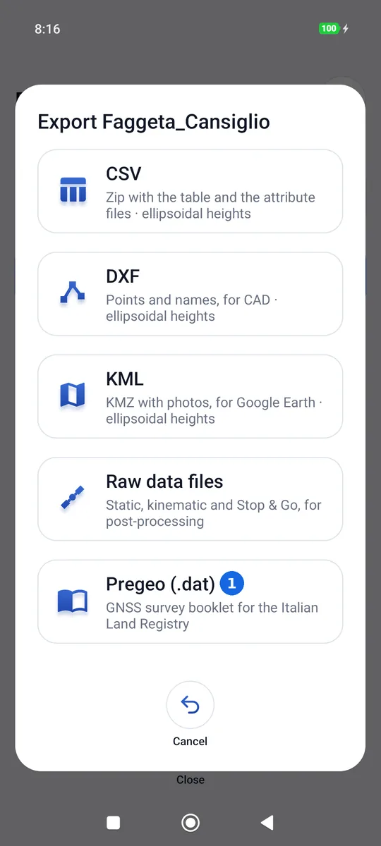
Project → press and hold the project → Export → Pregeo (.dat) (1), at the bottom of the formats.
The filing data
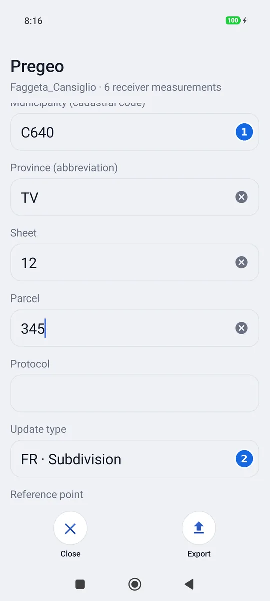
- Municipality with the cadastral code (for example
G381), Province with its abbreviation, Sheet, Parcel and Protocol. - Update type (FR, FM, MC…) and, below, the Reference point: the one all the others refer to. By default it is the first measured point.
These data stay with the project: they can be written in the field and are there at export time. In a new project, municipality and province come from the last filing.
The surveyor and the survey
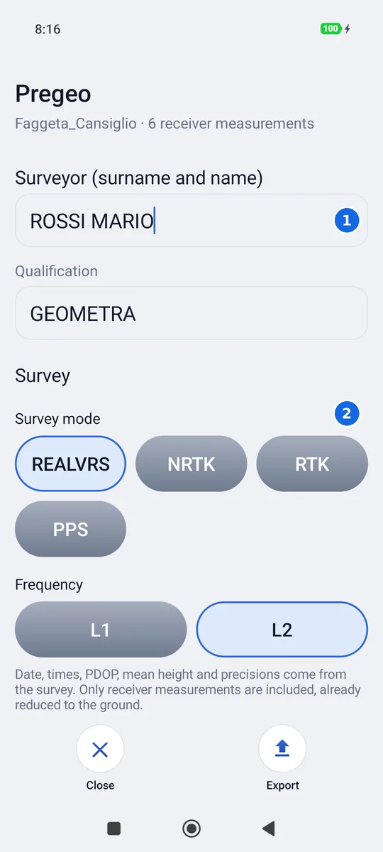
- Surveyor (surname and name) and Qualification: written once, valid for all projects.
- Survey mode (REALVRS, NRTK, RTK, PPS) and Frequency: these stay too.
Export writes the file named after the project (Faggeta_Cansiglio.dat) and opens the phone's
share sheet.
What it takes from the survey
| Row | What it contains | Where from |
|---|---|---|
| 0 header | Date, protocol, municipality, sheet, parcel, surveyor, qualification, province | The filing data; the date is today's |
| 9 parameters | Mean height, Pregeo version, update type, instrument | The mean height of the points, above sea level (ITG2009) where the grid covers them |
| 1 reference | The geocentric (ECEF) coordinates of the reference point | The survey |
| 6 session | Frequency, start and end, mode, PDOP | The time of the first and the last measurement |
| 2 points | The offsets from the reference, the covariance matrix, the PDOP and the code | The measurement: average, precisions and PDOP of the receiver |
| 7 lines | The survey lines, red and solid | The project lines |
| 8 control points | Official North, East and reliability | The point attributes (see below) |
- The covariance matrix is the one the receiver computes for each position (the NAV-COV message), averaged over the measurement. If the receiver does not send it, or the point was measured with an earlier version of geosit, it comes from the horizontal and vertical precisions declared for that point: no made-up numbers.
- The antenna height is 0.000: the coordinates are already those of the ground, with the pole removed (measurement already reduced to the point).
- The PDOP is the average of the epochs of the measurement. Points measured with earlier
versions of geosit do not have it and write
PDOP=1.
Which points go in
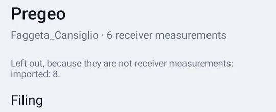
Only the receiver measurements. Points taken with the phone GPS, entered by hand or imported are left out: the Pregeo screen counts them under the title, with the reason (for example «entered by hand: 2»). A point without height stops the booklet: geosit says which one, and the height must be added or the point removed. In the same way it stops if one of the excluded points is a vertex of a line or polygon: geosit names it, and it must be removed from the line or replaced with a receiver measurement, so that the outline stays as drawn. The booklet accepts only Latin letters (accents are fine): if a name is in Cyrillic or Arabic, geosit says so and the point must be renamed.
Control points
To declare a cadastral control point (row 8) the point is named as in Pregeo, PF##/####/CODE
(for example PF10/0050/H889), and the project has the attributes pf_nord,
pf_est and, if needed, pf_attendibilita, with the official coordinates of the control
point. A PF without those values goes in as a point, not as a control point.
Before filing
The booklet is opened in Pregeo and checked there, like every filing: geosit prepares the data, the check remains the surveyor's.