What geosit is
geosit is the app for measuring and finding points with a precision GNSS receiver. It is designed for people who work outdoors with gloves on and the sun on the screen: a few big buttons, readable text, no hidden menus.
With geosit you do the whole round of the job:
- you create a project (the site, the wood, the scene, the survey day);
- you connect the receiver via Bluetooth;
- you measure the points to the centimeter, with name, code and the attributes you need (a choice from a list, a number, a photo, a voice note…);
- you stake out the points that came from the office, guided by arrow, bubble and sounds;
- you look at the points on satellite, street, WMS or offline maps;
- you export everything as CSV, DXF, KML, Shapefile or GeoPackage and send it wherever it is needed.
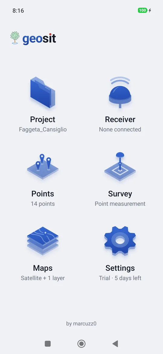
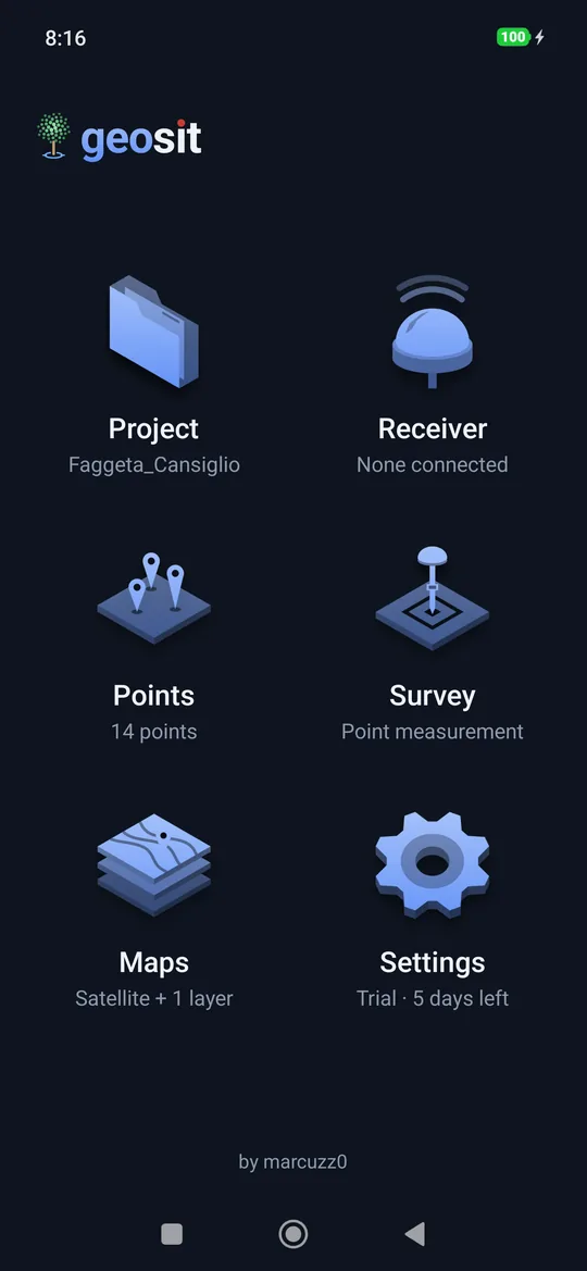
Three uses, one app
geosit is a single app. Base is always there; the license says which packages come on top of it, and the packages add up: for example Base + Pro + GIS (see Settings and license). During the trial days everything is there.
| Package | What it contains |
|---|---|
| Base | GNSS surveying: receiver and NTRIP corrections, projects in UTM or in any EPSG system with ellipsoidal heights or heights above sea level (ITG2009 geoid), surveying and staking out points with one photo per point, static, kinematic and Stop & Go with raw data, offline maps and WMS, import and export in CSV, DXF and KML, 3D Shapefile and GeoPackage. |
| Pro | Topography: lines and their stakeout, DXF drawings with snap and georeferencing, calculations, Pregeo field book. |
| GIS | The forest: point attributes (species, diameter, damage, photo, audio, video), the form that opens by itself after every measurement, export with one column per attribute and the KMZ with the photos. |
| Scene | Road accidents: scenes, vehicles to scale, plan sketch in PDF and layered DXF. |
Topographic and geodetic survey
Base + Pro. Points to the centimeter in FIX with NTRIP corrections, UTM coordinates or another EPSG system and ellipsoidal or above-sea-level heights (ITG2009 geoid), raw files for post-processing. With Pro, lines and their stakeout, DXF drawings with snap and georeferencing, calculations on the project's points and the measurement booklet for Pregeo.
Where to start:
- Receiver and corrections: connect the receiver and the NTRIP network.
- Projects: reference system and heights of the project.
- Survey and Lines: measure points and lines.
- Static, kinematic and Stop & Go: raw data for post-processing.
- CAD drawings and snap and Calculations.
Forest survey
Base + GIS. Trees to be counted, boundaries, sample plots. With GIS every project has its own form (species, diameter, damage, photo, voice note) that opens by itself after every measurement, already filled in with the values of the previous point. In the woods the offline maps serve as a basemap without network.
Where to start:
- Projects: create the project.
- Point attributes: prepare the form to fill in on every tree.
- Survey: measure the first point.
- Stakeout: find the points that came from the office.
- Offline maps and Import and export.
Road accidents
Base + Scene. A scene carries report number, place, date and time. You measure the point of impact, rest positions, debris, skid marks and road edges; a vehicle is surveyed from two wheels and geosit draws its outline to scale. At the end, the site sketch as a PDF, to attach to the report, and the layered DXF for the expert.
Where to start:
- Scene: road accidents: open a scene.
- Receiver and corrections: connect the receiver.
- The palette and the vehicles: what you measure.
- Sketch and DXF: the PDF and the DXF of the scene.
How it works
The receiver computes the position and sends it to the phone via Bluetooth. To get to the centimeter (FIX solution) the receiver needs the corrections from a network of permanent stations: geosit downloads them from the Internet (NTRIP service) and passes them to the receiver over the same connection.
Without corrections the receiver works all the same, but the accuracy drops to about a meter: geosit says so clearly (DGPS or Single solution instead of FIX) and asks for confirmation before saving a point that is not centimetric.
Receivers with their own corrections
Some receivers get the corrections by themselves (radio, SIM or their own network). In that case the NTRIP corrections in geosit stay off: the Bluetooth connection is enough.
What you need
| What | Notes |
|---|---|
| An Android phone | With Bluetooth and, for online maps and corrections, a data connection. There is also a version for iPhone. |
| An MS2 receiver | It connects via Classic Bluetooth (first firmware) or Bluetooth LE (newer firmware). |
| A license | As soon as it is installed the app is in Demo mode, with the demo receiver; with the first MS2 you start the 5-day trial, with all the packages; after that you need the code provided by the reseller, with the chosen packages. See Settings and license. |
| An NTRIP account (optional) | Address, port, mountpoint, user and password of the correction network you use. |
Where to start
The first steps are the same for all three uses:
- First start: install, grant the permissions, connect the receiver.
- Projects: create the first project.
- Survey: measure the first point.
Then follow the path for your use: topographic and geodetic, forest or road accidents.
Without a receiver
The list of receivers always contains Demo receiver: a simulated position to try every feature, but it does not survey anything real: see The demo receiver.
The points and receivers in the screenshots are test data.